Beverley Price Loop Track
Alerts
Check the DOC website for current alerts and conditions before you go. This site gets current alert info from DOC, but is not an official source of information.
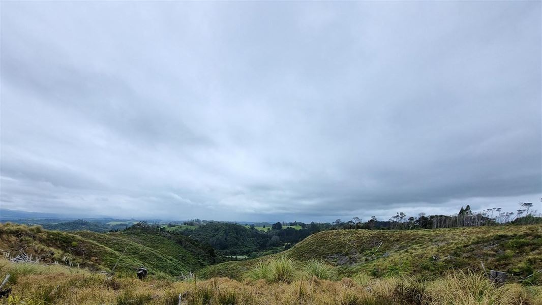
Continue from Waterfall Track on this strenuous walk through regenerating forest.
Elevation
Cover mapped summer 2023/24.
Description
The Beverley Price Loop Track continues on from the Waterfall Track. This track is best done clockwise.
From the waterfall, turn off and follow the markers up the gully to the junction with the forestry road. Turn right and follow this road along the ridge to the signposted turnoff. Take this track to complete the loop, returning to the bridge first crossed near the car park.
The track is steep in places and can be rough, slippery and muddy.
Getting there
The entrance to the walkway is signposted on the western side of Old SH 1 / Twin Coast Discovery Highway, just north of the Pohuehue viaduct between Waiwera and Warkworth.
It's 66 km north of Auckland off Old SH 1 / Twin Coast Discovery Highway.
Weather
Forecast at the start of the track