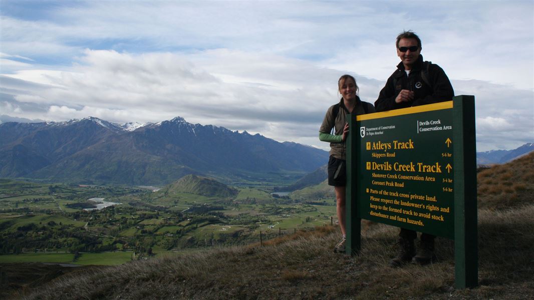
Atleys Track
Alerts
Avalanche NZ
Check Avalanche NZ for the full avalanche forecast before you go.
Sorry, we can't show Avalanche NZ forecasts or alerts on this site. Avalanche NZ doesn't permit it.
Check the DOC website for current alerts and conditions before you go. This site gets current alert info from DOC, but is not an official source of information.
You can see many historic gold mining features from Atleys Track and there are superb views from the summit of Mt Dewar.
Elevation
Cover mapped summer 2023/24.
Sampled from the national 8m elevation model. No LiDAR survey covers this route yet.
Description
The track crosses a mixture of conservation and private land. You can see many historic gold mining features from Atleys Track, on both sides of the river, as it leads to Atleys Terrace Historic Reserve and huts. There are superb views from the summit of Mt Dewar.
Getting there
Start and finish from Skippers Saddle, Skippers Rd.
Weather
Forecast at the start of the track