Ahuriri Estuary Walking Track
Alerts
Check the DOC website for current alerts and conditions before you go. This site gets current alert info from DOC, but is not an official source of information.
View a community of wading birds, fish, mud dwellers and aquatic plant life from the estuary track and boardwalk. Over 70 species of resident and migratory waterbirds use the estuary as a feeding and resting area.
Elevation
Cover mapped summer 2023/24.
Description
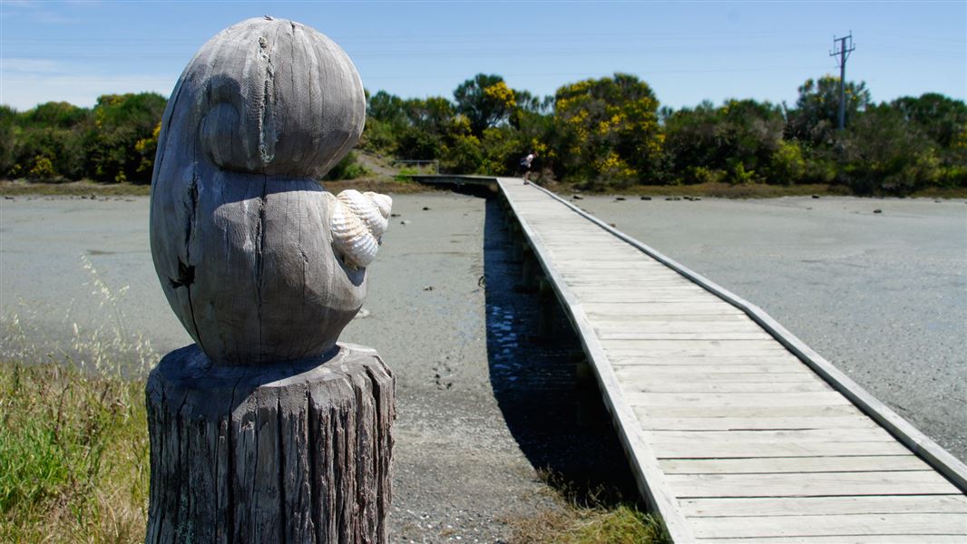
Follow the track and boardwalk across the estuary.
The boardwalk stretches out across the water for good viewing. Take your binoculars.
Mountain biking
There is no mountain biking allowed along the walking track around the lower estuary.
There is an 8 km section of cycleway, part of Nga Haerenga - the New Zealand Cycle Trail, passing close to the middle estuary with wildlife viewing points.
Getting there
Acces is via Humber St, off Pandora Road, Napier.
Weather
Forecast at the start of the track