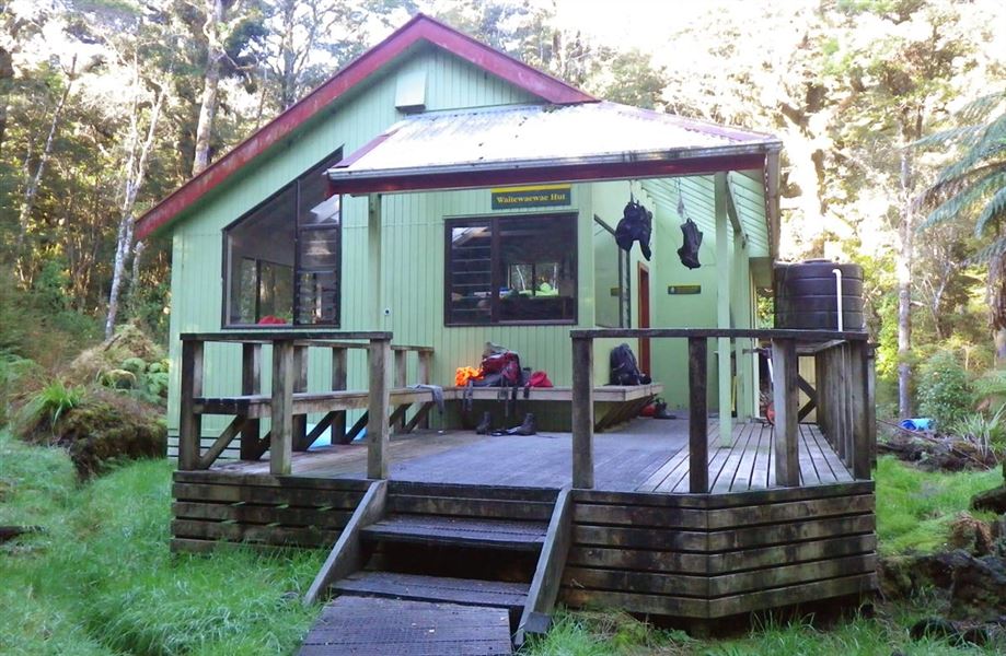
Waitewaewae Hut
Ōtaki Forks area • Wellington/Kapiti
Alerts
NIWA weather risks
NIWA's Parks Weather site lists daily weather risks for the forecast point below.
Sorry, we can't show NIWA weather or alerts on this site. NIWA doesn't permit paid apps to do this.
Forecast point: Waitewaewae Hut (310m)
Check the DOC website for current alerts and conditions before you go. This site gets current alert info from DOC, but is not an official source of information.
- About
- This is a standard 16-bunk hut in the Kapiti region.
- Facilities
- Heating
- Mattresses
- Toilets - non-flush
- Water from tap - not treated, boil before use
- Water supply
About this hut
This hut is managed by the Greater Wellington Backcountry Network.
The current Waitewaewae Hut was built in 1991 on the banks of the Otaki River, It was built to replace the original hut, located 2 km upstream.
The original hut was built by the Hutt Valley Tramping Club in 1950. The new hut is located on the site of Whareiti bivvy - the first hut in the area, which was built in 1936.
Fees and bookings
Fees
- Adult (18+ years): $15 per night
- Youth (5–17 years): $7.50 per night
- Child/Infant (0–4 years): free
Before you go, buy Hut Tickets for each night's stay. Put these in the honesty box at the hut. Or buy a Backcountry Hut Pass that gives unlimited use at most Standard and Serviced huts for a 12 month period.
Booking and paying | Backcountry Hut Tickets | Retailers that sell hut tickets and passes
Te Araroa – The Trail Pass
Te Araroa Trail walkers should register and purchase the Te Araroa Trail Pass.
Getting there
The hut is best accessed from the western side of the Tararua Forest Park via the Otaki Forks entrance.
Ōtaki Forks is 19 km inland from Ōtaki township – approximately 1 hr 30 min drive from Wellington or Palmerston North. The easiest turnoff from SH1 is at Ōtaki Gorge Road, just south of the SH1 bridge over the Ōtaki River.
Approximate times from nearest road and huts
- Otaki Forks: 6 hr
- Anderson Memorial Hut: 4–5 hr
- Nichols Hut: 5 hr
Tracks to this hut
Location
NZTopo50 map sheet: BP33
Grid/NZTM2000 coordinates: E1794459, N5477450
Know before you go
Weather forecast
Nearby
Weather
Forecast at the hut