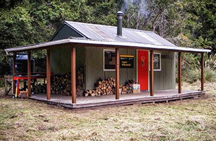
Upper Whirinaki Hut
Whirinaki Te Pua-a-Tāne Conservation Park • East Coast
Alerts
Check the DOC website for current alerts and conditions before you go. This site gets current alert info from DOC, but is not an official source of information.
- About
- A very popular hut for hunters, this is a standard nine-bunk hut.
- Facilities
- Heating
- Mattresses
- Toilets - non-flush
- Water from tap - not treated, boil before use
- Water supply
About this hut
Inside Upper Whirinaki Hut
Image: Sharlene Laskey ©
A very popular hut for hunters, with 9 bunks, a wood burner and water supply. This hut is managed by the NZ Deer Stalkers Association and Department of Conservation.
An easy round trip with undulating bush tracks, no major climbs and one section of river travel with good opportunities to see the whio (blue duck) in the river section.
A well-benched track winds its way around a bus ridge towards the Whirinaki River. Beech forest dominates here, with occasional podocarps breaking the uniformity of the canopy.
Upper Whirinaki Hut is situated at the end of the clearing.
Fees and bookings
Fees
- Adult (18+ years): $15 per night
- Youth (5–17 years): $7.50 per night
- Child/Infant (0–4 years): free
Before you go, buy Hut Tickets for each night's stay. Put these in the honesty box at the hut. Or buy a Backcountry Hut Pass that gives unlimited use at most Standard and Serviced huts for a 12 month period.
Booking and paying | Backcountry Hut Tickets | Retailers that sell hut tickets and passes
Getting there
3 hr 30 min via Taumutu Stream from Central Whirinaki Hut
3 hr from Plateau Car Park
The track goes up river to Taumutu Stream and branches. Turn off to Upper Whirinaki Hut and Mangamate Hut is to your left. At the next intersection turn right (the left track leads to Mangamate Hut). Climb a small saddle then the track drops down through forest to a clearing.
Tracks to this hut
Location
NZTopo50 map sheet: BG38
Grid/NZTM2000 coordinates: E1918874, N5697544
Nearby
Weather
Forecast at the hut