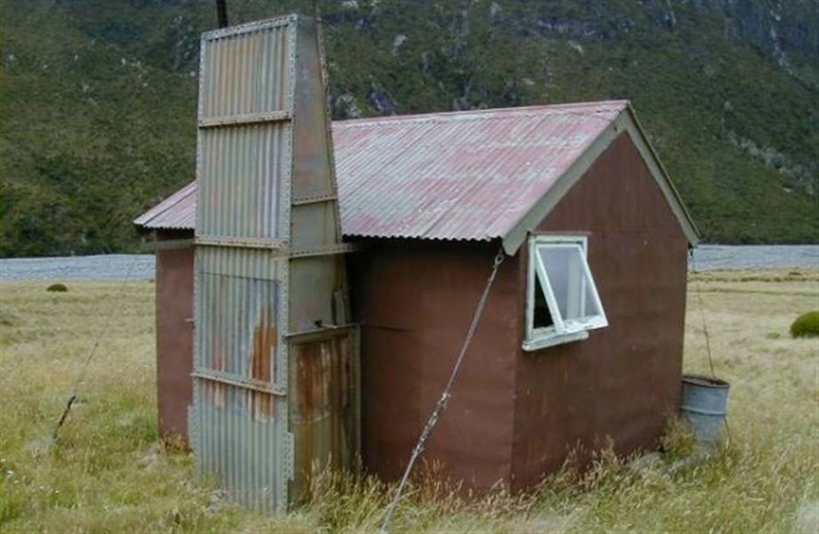
Unknown Stream Hut
Craigieburn Forest Park • Canterbury
Alerts
NIWA weather risks
NIWA's Parks Weather site lists daily weather risks for the forecast point below.
Sorry, we can't show NIWA weather or alerts on this site. NIWA doesn't permit paid apps to do this.
Forecast point: Carrington Hut (833m) · 18.5km away
Check the DOC website for current alerts and conditions before you go. This site gets current alert info from DOC, but is not an official source of information.
- About
- This is a basic four-bunk hut in the North Canterbury and Arthur's Pass area.
- Facilities
- Heating
- Mattresses
- Toilets - non-flush
- Water from stream
- Water supply
Fees and bookings
Fees
Free
Getting there
This is a backcountry hut with no DOC track access. You will need to plan your route and navigate yourself, using aids like a map, compass and GPS. Learn navigation skills.
Access into Wilberforce River is via the Wilberforce Canal Road. Permission is required from Glenthorne Station if not using the riverbed.
Location
NZTopo50 map sheet: BV19
Grid/NZTM2000 coordinates: E1459436, N5230428
Know before you go
Stay safe when crossing rivers and streams
If you plan to cross unbridged rivers or side streams, know how to cross safely and be prepared for if you cannot cross.
Do not cross if the river or stream is flooded, you cannot find safe entry and exit points or are unsure it’s safe. Turn back or wait for the river to drop. If in doubt, stay out.
NIWA river flow forecasts: View a video of national followed by regional river flows
Nearby
Weather
Forecast at the hut