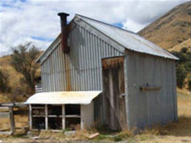
Scotties Hut
St James Conservation Area • Canterbury
Alerts
NIWA weather risks
NIWA's Parks Weather site lists daily weather risks for the forecast point below.
Sorry, we can't show NIWA weather or alerts on this site. NIWA doesn't permit paid apps to do this.
Forecast point: Christopher Hut (803m) · 16.9km away
Check the DOC website for current alerts and conditions before you go. This site gets current alert info from DOC, but is not an official source of information.
- About
- Scotties Hut is a basic hut in the St James Conservation Area.
- Facilities
- Mattresses
- Toilets - non-flush
- Water from stream
- Water supply
About this hut
Scotties Hut
Heritage
The area around Scotties Hut is known as Scotties Camp and is an historic site, dating back to mustering days. The ruins of the first Scotties Camp Hut are nearby.
Fees and bookings
Fees
Free
Getting there
From Hanmer Springs take Clarence Valley Rd over Jacks Pass to connect with Tophouse Rd (about 13 km from Hanmer Springs). From there, the hut is accessible to walkers, mountain bikers and horse riders via the St James Cycle Trail.
During summer, four wheel drivers can access the hut via the Edwards Valley Track. You must register with DOC before you can bring your vehicle into the St James Conservation Area.
Motor vehicle access into St James Conservation Area
Tracks to this hut
Location
NZTopo50 map sheet: BT24
Grid/NZTM2000 coordinates: E1570383, N5302449
Nearby
Weather
Forecast at the hut