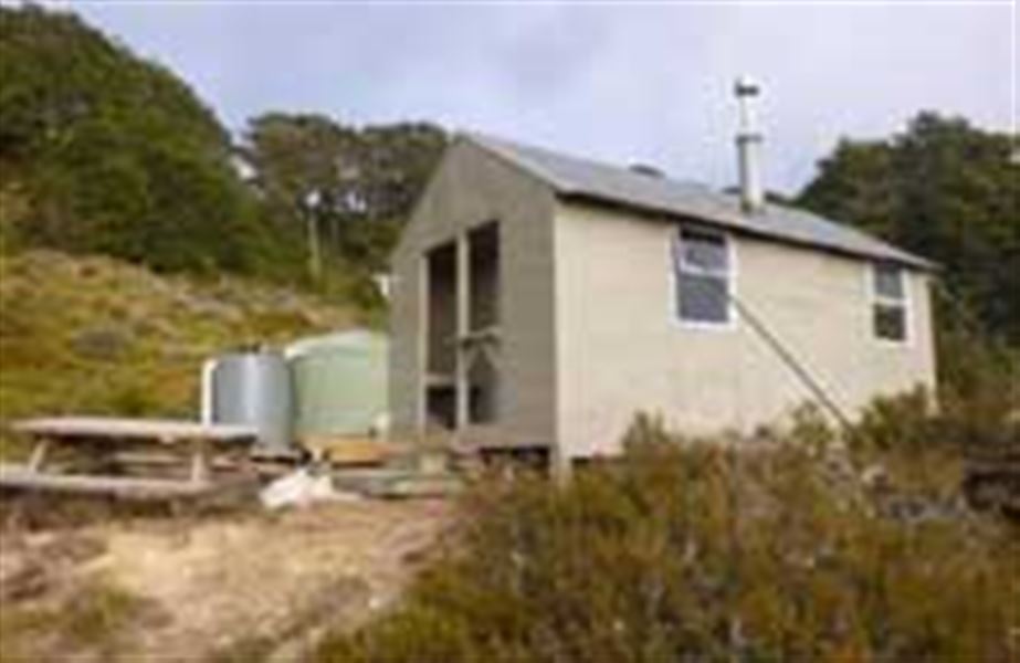
Mt Fell Hut
Mount Richmond Forest Park • Marlborough
Alerts
NIWA weather risks
NIWA's Parks Weather site lists daily weather risks for the forecast point below.
Sorry, we can't show NIWA weather or alerts on this site. NIWA doesn't permit paid apps to do this.
Forecast point: Mt Richmond (1760m) · 2.4km away
Check the DOC website for current alerts and conditions before you go. This site gets current alert info from DOC, but is not an official source of information.
- About
- This is a standard 6-bunk hut in the South Marlborough area.
- Facilities
- Heating
- Mattresses
- Toilets - non-flush
- Water from tap - not treated, boil before use
- Water supply
About this hut
Mt Fell Hut is situated on the bushline, 1 km south of Mt Fell summit (1602 m), just below an alpine meadow. It's well worth heading up to this meadow early to watch the sunrise. It was built in 1964, and moved and tidied up in 2017.
From the ridgeline above the hut, there are views of the Wairau Plains, Nelson/Tasman Bay, the Pelorus Valley and as far out to Wellington.
Fees and bookings
Fees
- Adult (18+ years): $15 per night
- Youth (5–17 years): $7.50 per night
- Child/Infant (0–4 years): free
Before you go, buy Hut Tickets for each night's stay. Put these in the honesty box at the hut. Or buy a Backcountry Hut Pass that gives unlimited use at most Standard and Serviced huts for a 12 month period.
Booking and paying | Backcountry Hut Tickets | Retailers that sell hut tickets and passes
Getting there
Nearest road end to Mt Fell Hut
Te Rou Road (Timms Creek car park): 7 hr (12.8 km)
4.9 km north of Renwick, just over the Wairau River bridge, turn off SH6 onto Northbank Road. Follow this for 30.8 km then turn into Te Rou Road. Timms Creek car park is at the end of the road.
From Mt Fell Hut: The track sidles through mountain beech and tussock to where it reaches the main ridge above Timms Creek. It then descends steeply approximately 900 m to Timms Creek fork where it crosses the unbridged creek, this crossing can provide problems during wet weather. The track then follows Timms Creek, undulating to Timms Flat, a clearing ideal for picnicking and swimming. From Timms Flat travel another 2.5 km through native bush and pine plantations to the Timms Creek car park at the end of Te Rou Road.
Richmond Saddle Hut to Mt Fell Hut
Richmond Saddle Hut: 4 hr (5.2 km)
Follow the north west broad rocky ridge poled route to Mt Richmond summit. Descend down moderately steep scree faces to a col west of Johnson Peak. The track them sidles onto a ridgeline west of the hut. The hut is 10 min from a junction on the ridgeline.
Middy Hut to Mt Fell Route
The route from Middy Creek Hut on the Pelorus Track to Mt Fell has many fallen trees. To use this route trampers must be prepared to navigate off track for periods of time. You will need to be competent in off track travel and navigation and allow extra time for your hike.
Tracks to this hut
Location
NZTopo50 map sheet: BQ26
Grid/NZTM2000 coordinates: E1634730, N5410205
Nearby
Weather
Forecast at the hut