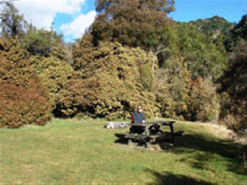
Mt Nimrod Campsite
Hunters Hills area • Canterbury
Alerts
Check the DOC website for current alerts and conditions before you go. This site gets current alert info from DOC, but is not an official source of information.
- About
- A quiet campsite on the eastern flank of the Hunter Hills. There is a 3.5 km forest walk to a podocarp forest remnant.
- Facilities
- Fire pit/place for campfires (except in fire bans)
- Non-powered/tent sites
- Water from tap - not treated, boil before use
- Toilets - non-flush
- Toilets
- Water supply
- Activities
- Walking and tramping
- Dogs
- No dogs.
- Landscape
- Forest
- Access
- Campervan, Car, Caravan
- Unpowered sites
- 10
Fees and bookings
Fees
- Adult (18+ years): $10 per night
- Child (5–17 years): $5 per night
- Infant (0–4 years): free
Passes
The DOC Campsite Pass can be used at this campsite.
Campsite Pass bookings must be booked online before occupying a site. If you do not book, bookings may be made by campground staff (if present) and will incur a $10 service charge. Sites may not be available if you do not book.
Bookings
Bookings are open for stays up to 30 June 2027.
- If no availability shows online for your dates, the campsite is fully booked.
- No spaces are kept for campers arriving without a booking.
- Phone and in‑person bookings made at a visitor centre incur a $10 service fee.
- Same‑day bookings are available online until 8 pm if spaces remain.
Getting there
From Tīmaru follow State Highway 1 south for approximately 10 km. Turn right on to Pareora River Road and follow for 16 km past the Pareora Hut settlement onto Pareora Gorge Road.
After 5 km turn left onto Limestone Road, then onto Motukaika Road. Follow for 11 km then turn right at the T-junction onto Back Line Road.
After 2 km, turn left into Mt Nimrod Road. Follow the DOC signs and carry straight on into the reserve. Do not turn left as it is a private driveway for Mt Nimrod farm.
Location
NZTM2000 coordinates: E1430655, N5077877
Latitude: -44.43248261, Longitude: 170.87196429
Activities
Walking and tramping
Take a 3.5 km forest walk to a podocarp forest remnant.
A 5 km easement across private farm land provides access to the Hunter Hills Conservation Area which includes Mt Nimrod.
Caution: Mt Nimrod Loop Track is an “Advanced tramping track”, steep and uneven in places. It may not be suitable for some people.
Nearby
Weather
Forecast at the campsite