Lawrence Campsite
Kaweka Forest Park • Hawke’s Bay
Alerts
Check the DOC website for current alerts and conditions before you go. This site gets current alert info from DOC, but is not an official source of information.
- About
- This is a basic campsite in Hawke's Bay. A pleasant setting to camp or picnic in. There are day and overnight walks from here, as well as fishing and hunting, or canoeing on the Tutaekuri River.
- Facilities
- Non-powered/tent sites
- Water from stream
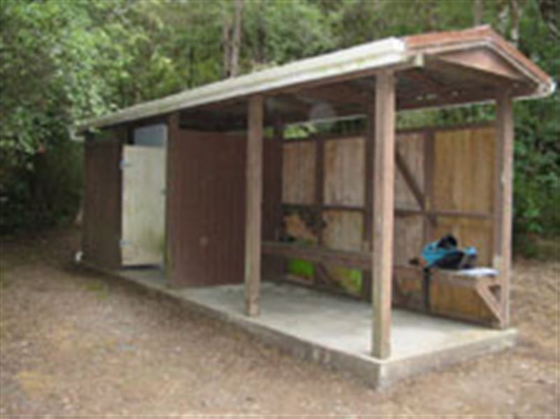
- Toilets - non-flush
- Toilets
- Water supply
- Activities
- Fishing, Hunting, Kayaking and canoeing, Swimming
- Dogs
- No dogs.
- Landscape
- Rivers and lakes
- Access
- 4WD
- Unpowered sites
- 5
Fees and bookings
Fees
Free.
Getting there
From Napier-Taihape Rd turn into Lawrence Rd near Kuripapango and travel 7km to road end. 4WD access to campsite. No campervan or motor home access. Last 500m of access road is unsuitable for all 2WD vehicles. Logging trucks on road, take great care.
A forestry gate has been installed on Lawrence Road to allow for closure in the event of unsafe road conditions. If the road is closed, an alert will be displayed on this page.
Kaweka Forest Park access conditions
We recommend 4WD vehicles to reduce wear on the road and safe travel.
- Lotkow Road: The river crossings are regularly changing, check before crossing.
- Lakes carpark is accessible via Kuripapango road. The previous access Castle Rock road is now closed due to ongoing forestry operations.
- Lawrence Carpark access road: The last 600 m of the road is steep and not recommended for 2WD vehicles - a parking space is available before the descent. The Lawrence swing bridge has been removed.
- Mackintosh car park is currently closed due to ongoing forestry operations. A new parking location can be located at a skid site near the closed gate (end of Kuripapango Road), this will add on 500 m walking to reach the start of the track.
- Whittle Road: Be aware of trucks using the quarry. Give them right of way where possible.
Location
Approximately 1½ hours west of Napier.
NZTM2000 coordinates: E1896496, N5636374
Latitude: -39.37122668, Longitude: 176.44171824
Know before you go
Fires not permitted at any time
Activities
There are day and overnight walks from here as well as fishing and hunting, or canoeing and swimming on Tutaekuri River.
Nearby
Weather
Forecast at the campsite